Home

Overview
Challenge
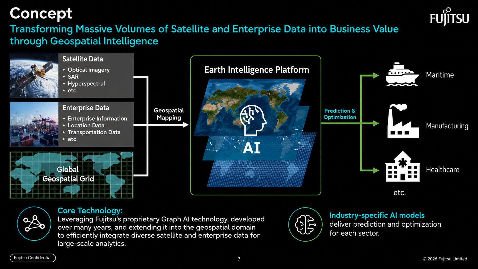
Satellite data is massive, but it is not yet fully utilized across industrial fields.
Originality
Extends Fujitsu graph AI technology into geospatial space to enable large-scale data fusion.
Value
Supports prediction and optimization through AI specialized for industries such as global shipping, manufacturing and healthcare.
Technical points
- Diverse satellite data: Uses optical, SAR, hyperspectral and other satellite data.
- Industrial data mapping: Maps company, location, traffic and other industrial data into geospatial space.
- Global geospatial grid: Absorbs missing values and different granularities through a common grid foundation.
- Industry-specific AI: Predicts risks and opportunities and supports decision-making.
Process / approach
The platform also improves the quality of satellite data. Bias correction and downscaling increase the accuracy of low-resolution satellite rainfall data without relying on ground radar, while physical constraints such as energy conservation and spectral-bias suppression are embedded into models for physically consistent AI emulation.
Applications
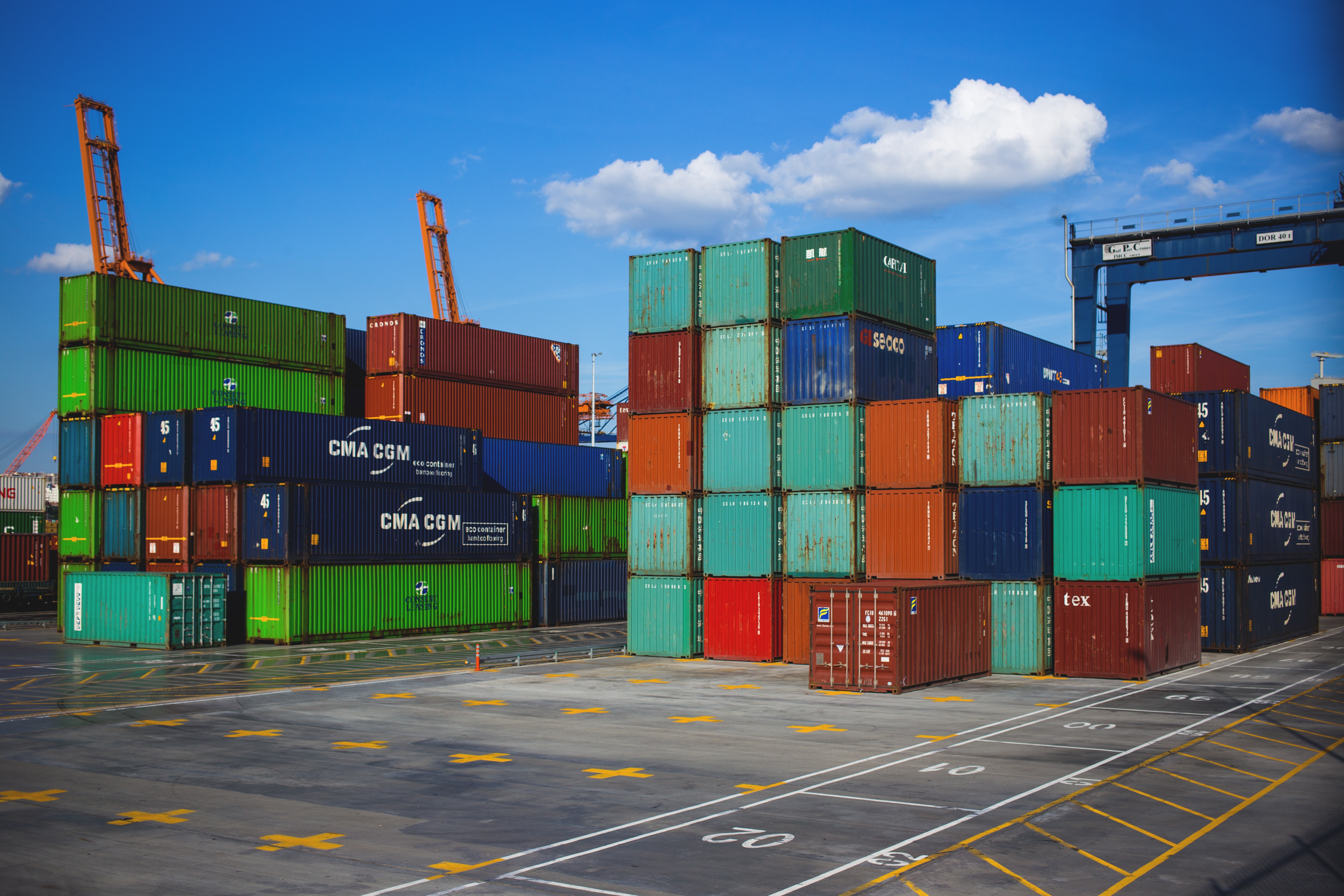





By integrating ground information and satellite information, the platform enhances global transportation risk management and early response in supply chains that previously depended on fragmented information.
Application Example: Maritime Decision Support
When applied to the maritime domain, Earth Intelligence Platform integrates satellite data and ocean observation data to provide high-speed ocean condition forecasting through AI, enabling improved safety and efficiency in vessel operations.
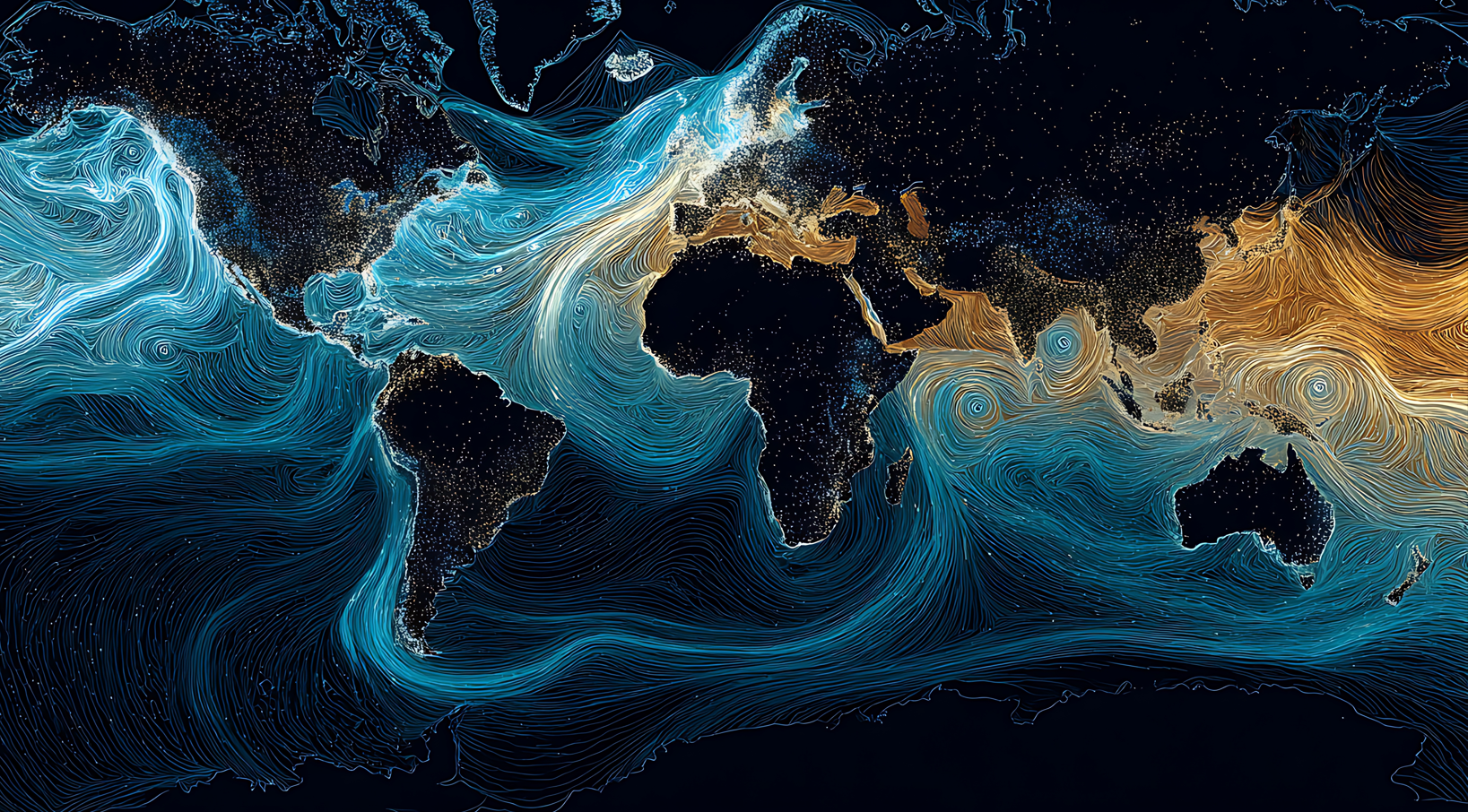
- Real-time ocean forecasting: AI learns ocean currents, wave heights and sea surface changes to provide future predictions in a short time without requiring traditional large-scale computations
- Route optimization: Compares and evaluates multiple route scenarios in advance to support operational planning that balances safety and fuel efficiency
- Accelerated decision-making: Performs instant re-forecasting in response to pre-departure or in-transit situational changes, enabling data-driven decisions rather than relying on experience and intuition
For more details, see PIE Ocean (Ocean-Informed Decision Support).